|
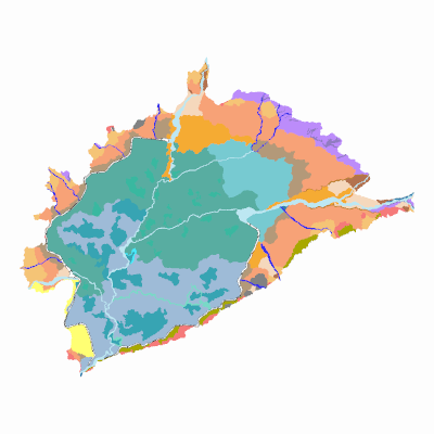
Width: 400 Height: 400 Extent:
YMin: 1678514.571565001 XMax: 4570741.470585 YMax: 1695864.9174350004 Spatial Reference: 9377 (9377) LatestVCSWkid(0) Scale: 163939.9480564501 |
| ArcGIS REST Services Directory | Login |
| Home > services > agrologia > geomorfologiaaplicadaasuelossibundoy (MapServer) > export | API Reference |

|
Width: 400 Height: 400 Extent:
YMin: 1678514.571565001 XMax: 4570741.470585 YMax: 1695864.9174350004 Spatial Reference: 9377 (9377) LatestVCSWkid(0) Scale: 163939.9480564501 |