|
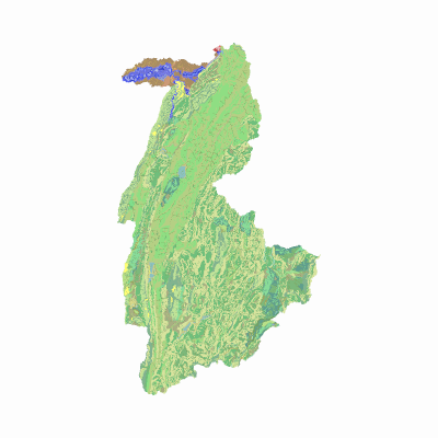
Width: 400 Height: 400 Extent:
YMin: 2072718.447506643 XMax: 4924925.260443357 YMax: 2220330.247593357 Spatial Reference: 9377 (9377) LatestVCSWkid(0) Scale: 1394754.376659346 |
| ArcGIS REST Services Directory | Login |
| Home > services > agrologia > geomorfologiaaplicadaasueloscarrionegro (MapServer) > export | API Reference |

|
Width: 400 Height: 400 Extent:
YMin: 2072718.447506643 XMax: 4924925.260443357 YMax: 2220330.247593357 Spatial Reference: 9377 (9377) LatestVCSWkid(0) Scale: 1394754.376659346 |