|
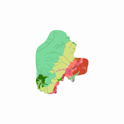
Width: 400 Height: 400 Extent:
YMin: 1806308.3069259515 XMax: 4690843.259274048 YMax: 1839438.4637740487 Spatial Reference: 9377 (9377) LatestVCSWkid(0) Scale: 313040.226026301 |
| ArcGIS REST Services Directory | Login |
| Home > services > agrologia > geomorfologiaaplicadaasueloscamquebradabarbillas (MapServer) > export | API Reference |

|
Width: 400 Height: 400 Extent:
YMin: 1806308.3069259515 XMax: 4690843.259274048 YMax: 1839438.4637740487 Spatial Reference: 9377 (9377) LatestVCSWkid(0) Scale: 313040.226026301 |