|
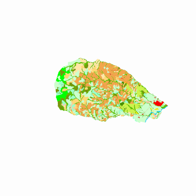
Width: 400 Height: 400 Extent:
YMin: 1813964.2569843289 XMax: 4680579.655312668 YMax: 1830518.3649530783 Spatial Reference: 9377 (9377) LatestVCSWkid(0) Scale: 156416.45537512004 |
| ArcGIS REST Services Directory | Login |
| Home > services > agrologia > coberturasyusodelastierrascam2017 (MapServer) > export | API Reference |

|
Width: 400 Height: 400 Extent:
YMin: 1813964.2569843289 XMax: 4680579.655312668 YMax: 1830518.3649530783 Spatial Reference: 9377 (9377) LatestVCSWkid(0) Scale: 156416.45537512004 |